This website shows, mainly, exactly where I've ridden my scooter. The lines come because I track trips in Strava, and then via the API, retrieve some of the raw data from Strava and render it here.
I write some about this project (and conceptually related topics) on my website: https://josh.works. Feel free to pop over there, sign up for email updates or whatever.
Overall, the lines on the map represent where I've travelled on a scooter, or my own two feet. Sometimes bicicling, and even ferries and such. In some cases, it'll be obvious what sort of form of travel I'm on, just by looking at the line location. The lines are color coded across the spectrum, green for the oldest, red for the newest. This covers data from 2018-today.
for example, compare this train trip to this ferry ride. Obviously different.
Still, this is mostly about scooters. Scooters are freakishly efficient in ways that can be difficult to discuss directly but sometimes can be effortlessly perceived via experience. I'm confident scooters have not yet approached the theoretical ideal level of utilization within American mobility networks.
As a first "it can do more than you'd think", check out this several thousand mile/km journey I took. On the opposite scale, in the data you can see very fine-grained activity, like me stopping for dinner at Teton Thai, overlooking the grand tetons: Here's where I stopped for that meal (and gas) near Jackson Hole, WY, on maybe the third-to-last day of that trip, returning to Denver from Seattle.
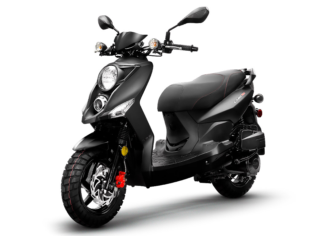
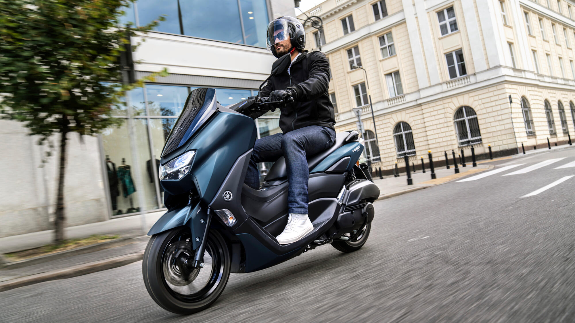
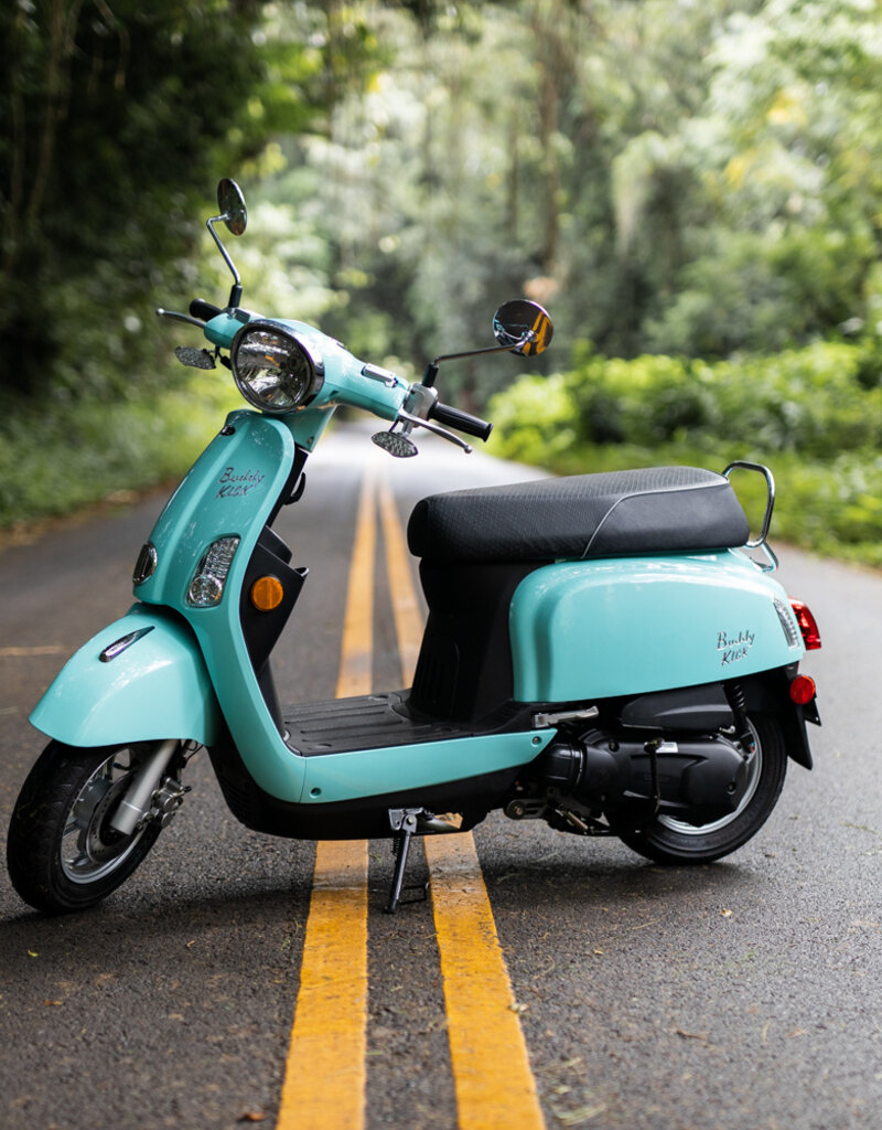
When in the USA, I'm usually riding a scooter, and I happen to have a 170cc Lance Cabo 200. It's an adequate vehicle. There's lots of other similarly-sized scooters out there. Scroll down a bit for photos. These are all scooters I've ridden in the USA or Asia, of late.
I'll write more about it some day. I probably think you should get a moped and start riding around yourself.
I have a thing for 'trip data'. I'm interested in nearly every aspect of what's entailed in going from one place to another.
There's a few books that strongly informs this data. Alain Bertraud wrote the following book:
👉 Order Without Design: How Markets Shape CitiesAnother book, written by a person named Donald Shoup:
👉 The High Cost of Free ParkingCombined, these books paint a picture of 'the physical infrastructure allocated to moving people around matters, and if it's built well/poorly, it matters.'
Politically powerful white people in America tend to be obsessed with parking, and and throw either actual or symbolic fits when encountering the suggestion that parking minimums be eliminated.
Overall, 'parking minimums' in America have been used to accomplish acts of ethnic cleansing (among other things), so... I'm overall opposed to parking minimums.
I try to be inoffensive, overall. I often am successful, sometimes I am stunningly unsuccessful. 😬
The road networks inside the USA have a distinct feel compared to road networks in, for example, Indonesia or Taiwan. Those places have *less* supremacy and ethnic cleansing baked into their road networks, and (shocker) function qualitatively differently, and aspects of those road networks outperform analagous aspects in the USA by TWO 🦆-ing ORDERS OF MAGNITUDE. takes deep breath.
A 'standard' road network in Bali, or Taipei, is two orders of magnitude 'better' than the same standard road network in the USA
Here's one of 15 different examples I could give.
One of those orders of magnitude of improvement is the low cost of road building.
American roads are very, very wide. They generate enormous water runoff, so an american road is often built with draining capacities attached.
Americans roads are also quite prolific. It sometimes feels like every available surface is paved with concrete or asphalt.
American road networks also move a very small number of people per lane mile, per minute.
Signalized (and unsignalized) intersections EVERYWHERE means everyone is going to spend a lot of time waiting at lights, at it only takes 3-10 people, wanting to make a certain turn at about the same time, in separate vehicles, to cause the network to be overburdened.
Also, an incredible percentage of trips in America are conducted in a car, and those sorts of vehicles are extremely fragile to congestion and such.
I could say so, so much more. Working on it.
I have a substack (Zoning Very Different Than Ours) that gets into more of this.
We could calculate how much time is spent with the average American car driver looking for parking, finding it, then walking to the entrance of wherever they're going.
Like I said, this data spans years of my life. It's been fun to collect, sorta self-sustaining now. Theoretically I could turn this into a web app that would get your Strava activity too, and would generate something similar for you. Maybe one day.
This is under active 'interesting-to-me' development. 'features' change/get added/removed at any moment. (every commit goes right on `main`. 😏 github repo, 👀 the readme)
I sometimes take a lot of photos, and for a time, I thought attaching photos to Strava activities would cause me to be able to retrieve the photo and coordinates for where it was taken via the API. Alas, I cannot it's a pain and I cannot retrieve precise geolocation coordinates for the photes, EVEN THOUGH STRAVA HAS THIS DATA, so thus far this application is devoid of many photos.
Here's an example of the roundabout, convoluted hoop-jumping that's happening.
I could write a book about Denver. I've travelled far and wide, across the city, I think. The last few years of my life has encompassed a few big moves, and a lot of travel. I was married, am no longer married, etc. I think this data is fascinating, it contains a lot of life lived.
I've moved around Golden, Denver, and to Loveland, for a time, and spent a greater-than-usual amount of time in Asia.
I note that the map is currently devoid of labels. It certainly is not often that we interact with maps, completely without references.
All of this is data I've retreived from Strava, from when I first started using it to track some running I was doing.
Over the years, I'd track more data, and then figured out I could easily-enough retrieve all of the data ever stored by Strava, rendered on a single, easy-enough-to-explore interface.
There's years of data, and now obviously across a mode of travel methods.
It's interesting. For example, here's what the map looks like for the apartment building I lived in for a few years, in Golden, CO.
Since then, I've lived in a few different places, and spent days-to-weeks-to-months in many more, so there's many different spots of the world I've explored with an intensity most associated with 'walks daily around here'
I've also tracked a few long scooter trips, and some train trips. I *think* I have very few, almost no, car trips. That's not exactly true, but a primary distinctive feature of this map is that it happened exclusively atop two-wheeled vehicles.
Usually the vehicles looked something like the Lance Cabo, Genuine Buddy Kick, Nmax, PCX, Scoopy, and more:

- ❤️, Josh.
joshthompson@hey.com, if you'd like to say hello